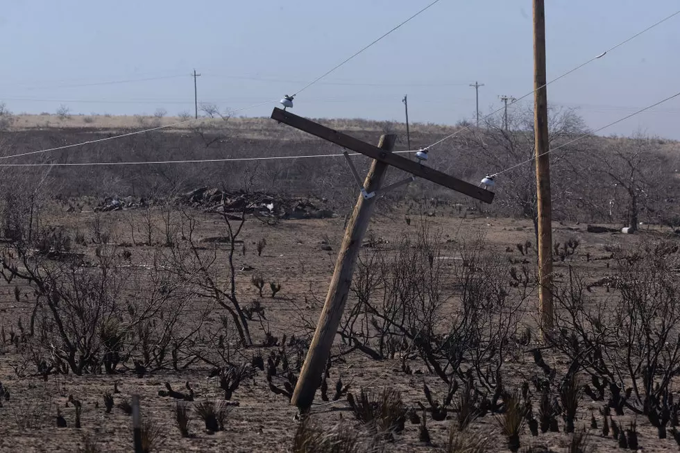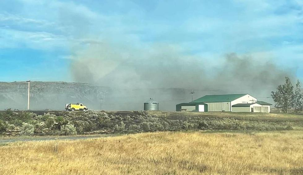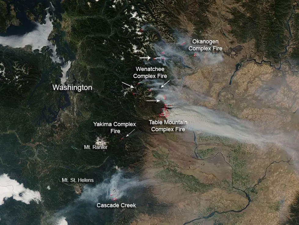
Wind Change Will Push Wildfire Smoke Our Way (Oh, Goodie!)
According to the National Weather Service and Townsquare Media forecast information, a change in our winds is going to cloud up our skies.
At 2:31AM Thursday morning, a special weather statement was issued by the NWS, which read as follows:
"A change from the current easterly wind pattern to a westerly
wind will take place late today and persist through the weekend.
This will begin to transport smoke from the large fires west of
the Cascades across eastern Oregon and Washington this afternoon
and overnight. The combination of light surface winds and night
time inversions will tend to trap smoke near the surface. Air
quality is expected to deteriorate and could become unhealthy or
even hazardous in some areas through the weekend. Central Oregon
is most likely to be impacted due to the close proximity to the
fires."

   This alert applies to basically all of NE Oregon and SE WA thru Fri.
More From 870 AM KFLD