Winter Weather This Weekend, Heavy on Saturday & Sunday
Get set for another round of winter. We've already had the colder temperatures within the last few days, and this weekend promises to bring rain and snow.
According to the National Weather Service in Pendleton:
An active, wet pattern is expected to begin this Friday & continue at least through early next week with multiple systems bringing rain & mountain snow. Saturday night into Sunday could see moderate to possibly heavy precipitation at times.
In the Tri-Cities for Wednesday evening into Thursday morning, there's a chance for freezing fog as the overnight low will dip to 28. There's also a slight chance for a few flurries or snow showers Thursday and Friday.
Saturday and Sunday nights bring an increasing chance for a wintry mix of rain and snow as lows will be in the mid-20's to mid-30's.
Don't panic, though, the expected snowfall accumulation in the Tri-Cities area is one inch.
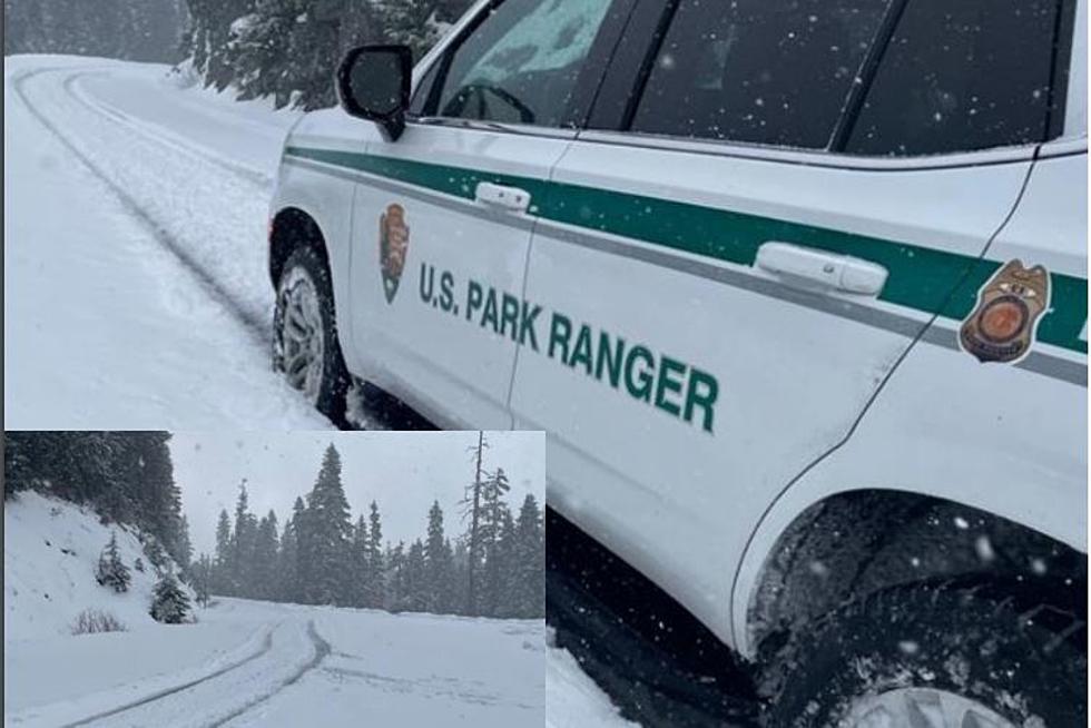
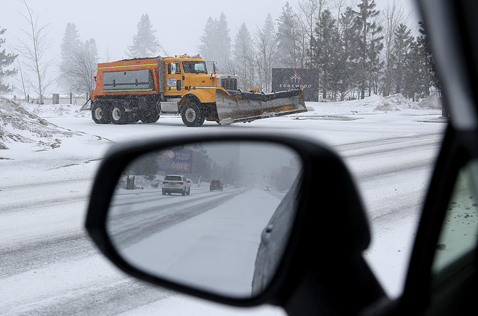
However, roads may be slick. Slow down, allow extra space between you and other motorists, and allow extra time to reach your destination safely.

KEEP READING: Get answers to 51 of the most frequently asked weather questions...
More From 870 AM KFLD