‘Google Streetview Style’ Surveying Coming to Kennewick Roads
Think of it as Google Street Vew, only for road conditions.
City of Kennewick begins new mapping process
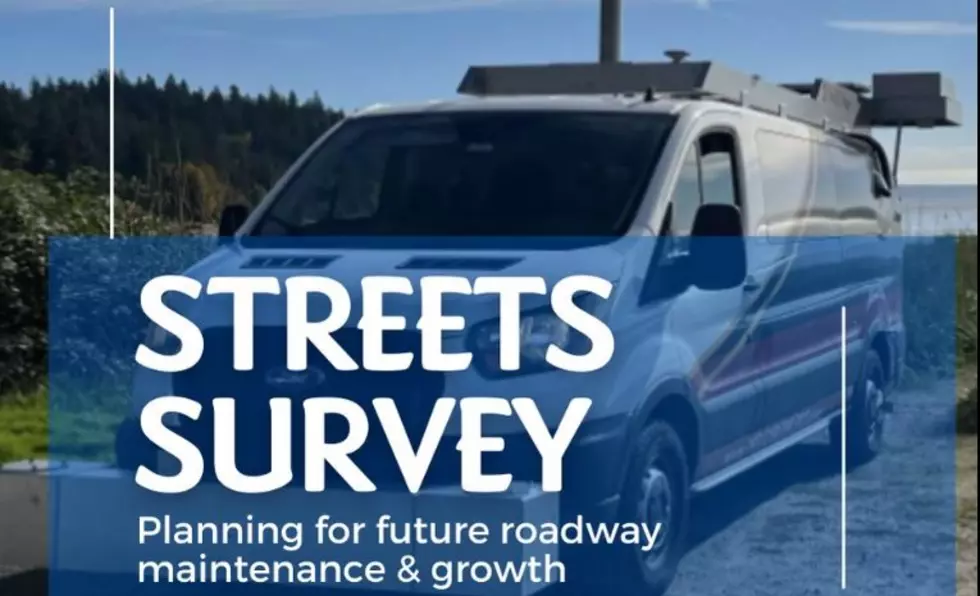
If you see a van or other vehicles that look similar to the one in the photo driving around, it's because the City of Kennewick has begun a new project to assess road conditions.
According to the City, they have teamed up with a national company called IMS, or Infrastructure Management Services, to create what they say is a comprehensive analysis of all public streets.

Kennewick says these vehicles will be out and about for the next three to five weeks, they will be seen during daytime and evening hours, and on weekends.
The data and analysis will greatly help the city assess what roads need work, and what issues exist, and it will be done in a much faster manner than they could in the past.
The City says following the completion of the surveying, they will be releasing information about what road projects they will be undertaking.
See the Must-Drive Roads in Every State
Gallery Credit: Sarah Jones
More From 870 AM KFLD


