NWS Predicts 4-5 Feet of Snow for Cascade Mountains
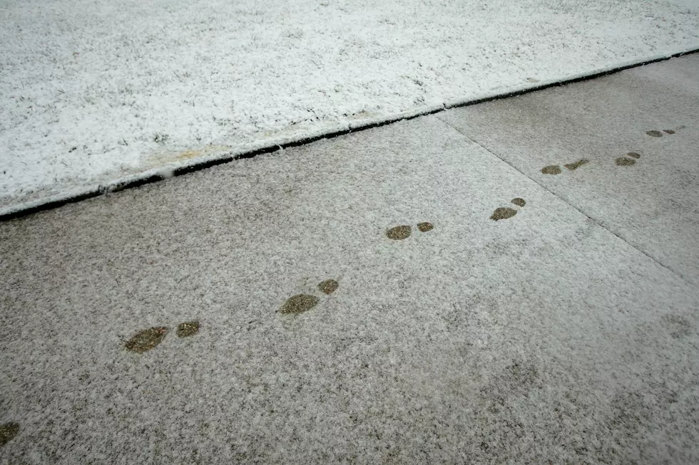
Mother Nature is packing a punch of winter snow to hit the Cascade Mountains by Sunday. The National Weather Service predicts two strong storms to bring as much as 4 to 5 feet of new snow.
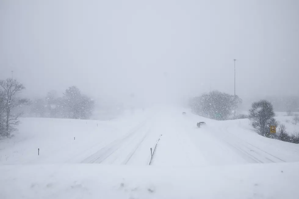
A winter storm watch is in effect from late Tuesday night through Thursday at 4 am.
* WHAT...Heavy snow possible above 2500 feet. Total snow
accumulations of 15 to 24 inches possible.* WHERE...Cascade mountains and valleys of Whatcom, Skagit,
Snohomish, King, Pierce and Lewis Counties. Locations include
the Mount Baker Ski Area, Stevens Pass, Snoqualmie Pass, Crystal
Mountain Ski Area and Paradise on Mount Rainier.
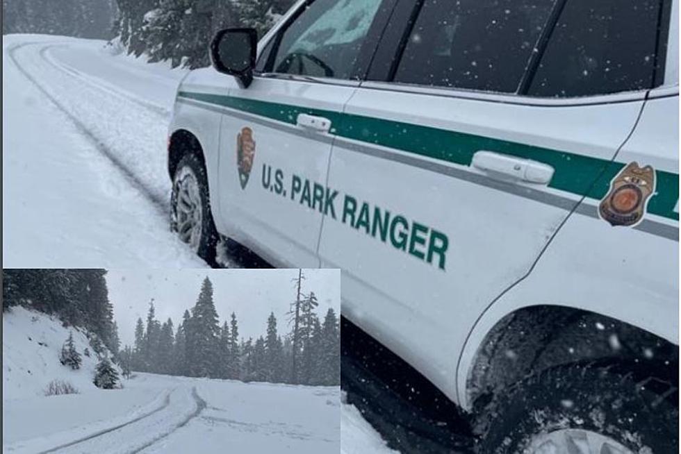
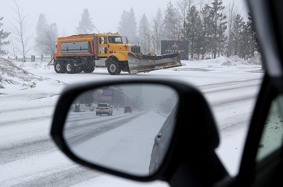
The Washington State Department of Transportation advises that travel through passes will be difficult. Drivers should be prepared for winter driving conditions.
A few good ideas to consider if you plan to travel through the mountains include:
1. Downloading the WSDOT mobile app.
2. Download and print the WSDOT Winter Driving Guide.
Always be prepared for winter driving, especially when so much snow is in the forecast. Make sure your vehicle has a full tank of gas. Your vehicle should be equipped with an ice scraper and brush, a first aid kit, cell phone charger, (It's also beneficial to have an extra cell phone battery) flashlight, water, and snacks. Pack boots, gloves, and warm clothes. Jumper cables and tire chains should also be in your vehicle. You never know when you'll come upon a road closure.
While skiers and snowmobilers may be looking forward to the several inches of snow and a winter wonderland, when all is said and done, hazardous travel conditions remain.
Be safe and prepared. Know before you go. Getting road information is as easy as dialing 5-1-1. It's a service from WSDOT.

KEEP READING: Get answers to 51 of the most frequently asked weather questions...
More From 870 AM KFLD