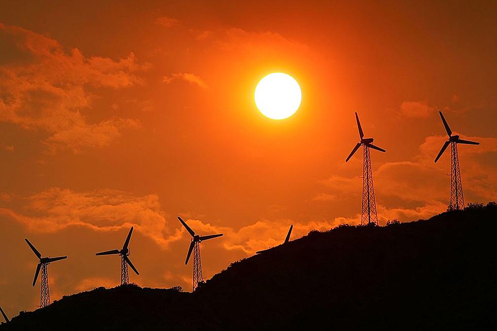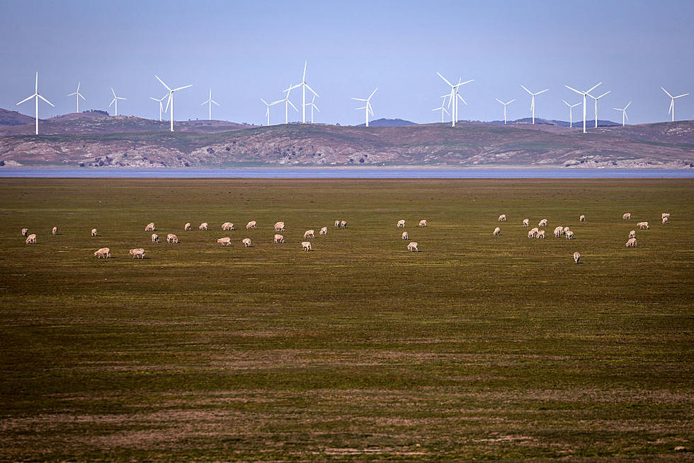
State Looking to Put More Solar, Wind Projects on Public Lands?

According to information released Tuesday by the Washington State Department of Natural Resources, it appears the state is looking at putting more 'clean' energy projects on public wildlands.

New map identifies 'best' locations for such projects
According to information released by DNR Communications Director Kenny Ocker, the state has created a new map that will identify the best locations to clean energy projects on public lands managed by DNR:
"The mapping project gives DNR the opportunity to use existing detailed information about the lands it manages to improve outreach to stakeholders, protect habitat and tribal heritage, and better serve the needs of utilities and clean energy developers. The tool is the State of Washington’s first published map for locating potential properties for solar and wind energy development."
Land Commissioner Hilary Franz stated:
"... I am proud of my team for creating this clean energy siting map, which will allow us to reduce barriers and help reduce costs for projects while siting wind turbines and solar panels in appropriate areas to protect wildlife habitat and cultural resources."
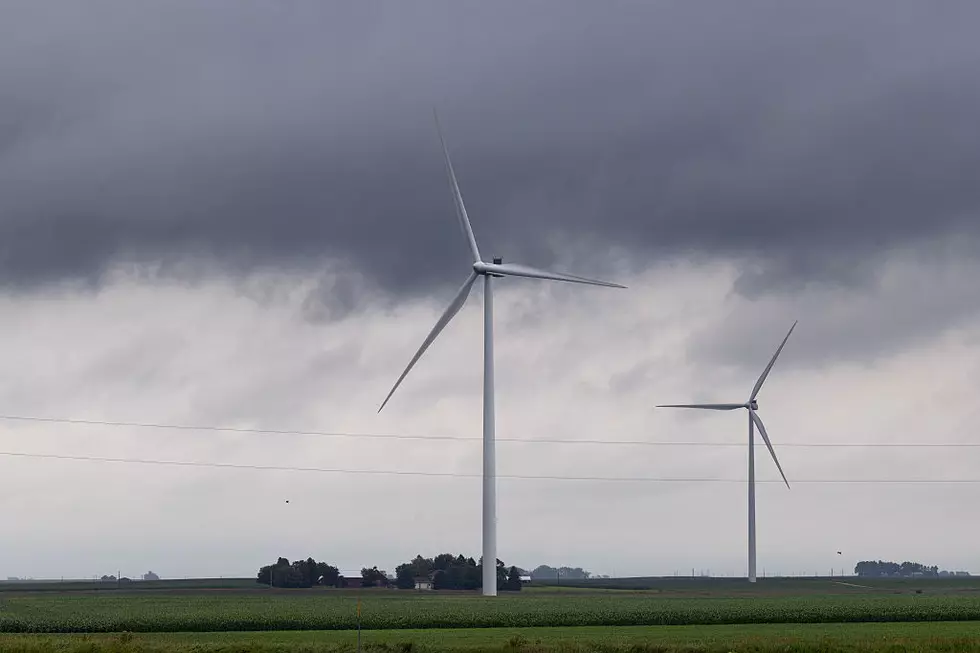
The state already has a number of projects on public lands that include:
"...20 wind energy projects that can generate more than 200 megawatts of energy as well as three parcels leased for solar energy development."
The map features include, according to DNR:
- "Distance from DNR-managed lands to infrastructure such as transmission lines and substations
- Elevation, slope, aspect, and soil corrosiveness of DNR parcels
- Whether the site is in military airspace"
- Expiration date for current lease of parcel, if any"
According to DNR, this map will be used going forward to help establish more energy sites on public lands.
LOOK: The most expensive weather and climate disasters in recent decades
Gallery Credit: KATELYN LEBOFF
More From 870 AM KFLD