It's called cellphone mobility data. It's the 'map' of GPS, location services etc. left behind by everyone's cellphones as they navigate the state or city. And WSDOH looks at it.
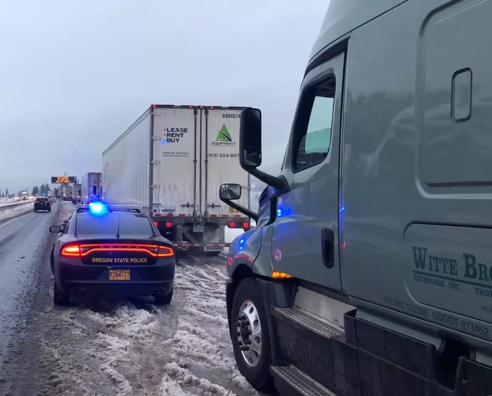
These images were taken over the last 3-5 days, and range from Morrow County (Sheriff's Office and school district) to Benton and Franklin County as well as other agencies.
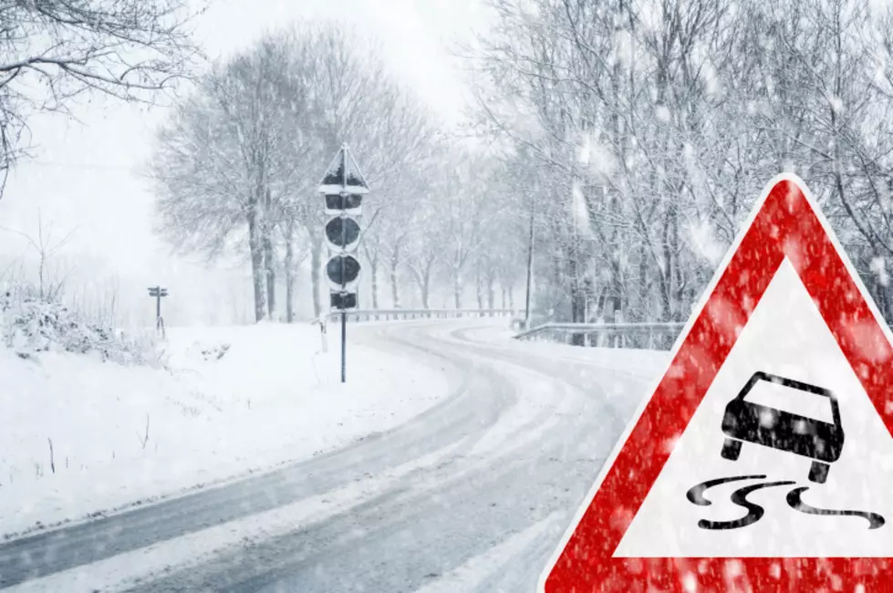
Someday the snow IS going to melt...and we will remember this...
If you are headed towards Hood River and Cascade Locks, give yourself a few extra minutes as expected delays will continue as the Oregon State Patrol is out assisting stranded motorists along Interstate 84.