Benton County Fire Danger Hits Extreme, Maximum Threat
Friday, the fire danger in Benton County was raised to extreme
Based on conditions, the threat was raised
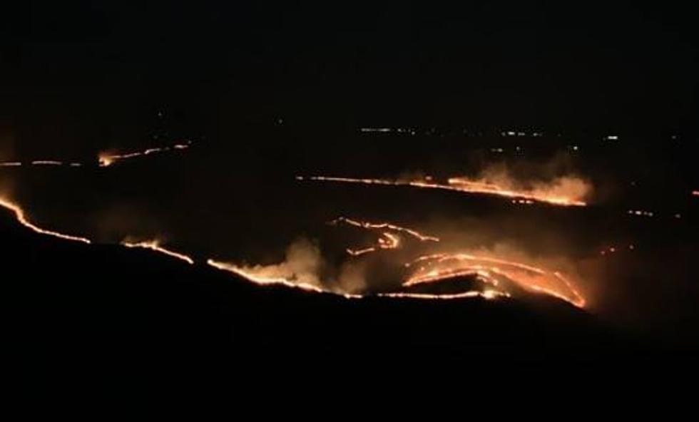
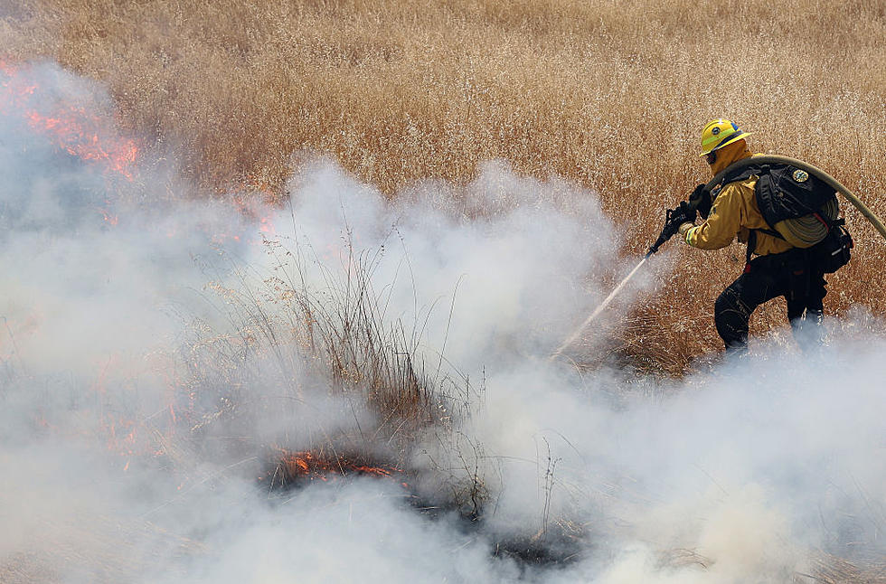
Benton County officials, including the chiefs of the 6 Benton County Fire Protection Districts, have raised the fire danger as high as it will go.
Fire danger is rated in most counties and cities as 0-3 low, 4-8 moderate, 9-11 high, 12-16 very high, and 17-plus is considered extreme. No burning of any kind is allowed anywhere on county lands, conditions have been labeled as dangerous.
According to the Benton County website:
"Extreme - Fires will start very easily and spread very rapidly. Every fire start has the potential to become large. Expect extreme, erratic fire behavior. Except for permitted emergency agricultural operations, NO OUTDOOR BURNING IS PERMITTED DURING EXTREME FIRE DANGER."
Temps are expected to be at or just over 100 degrees for the next 3 days, then dropping into the low 90s. But without any rain or precip, conditions will likely remain volatile for fires.
LOOK: The most extreme temperatures in the history of every state
More From 870 AM KFLD