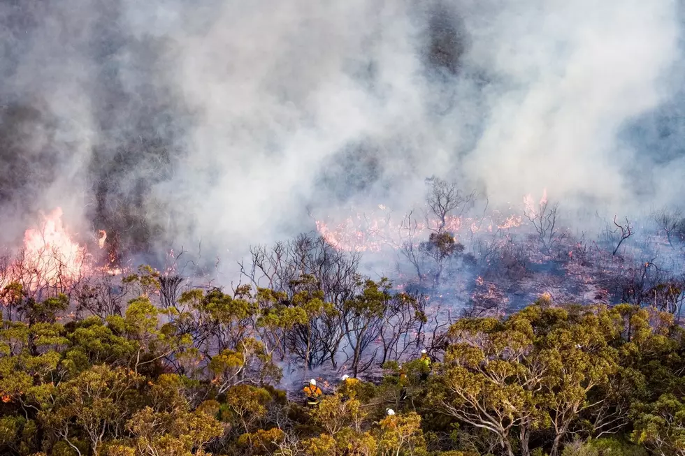
***UPDATE*** Red Flag Warning in Effect Until 9 PM Wednesday – Fire Danger is High
A red Flag Warning is in effect Until 9 pm Wednesday for the Lower Columbia Basin.

A Red Flag Warning means that:

Critical fire weather conditions are occurring now, or will shortly. A combination of strong winds, low relative humidity, and warm temperatures can contribute to extreme fire behavior.
According to the National Weather Service in Pendleton:
The combination of gusty winds and low humidity will create issues for fire control in dry grassy areas. Fires may spread rapidly.

Some tips from the National Weather Service:
-If you are allowed to burn in your area, all burn barrels must be covered with a weighted metal cover, with holes no larger than 3/4 of an inch.
-Do not throw cigarettes or matches out of a moving vehicle. They may ignite dry grass on the side of the road and become a wildfire.
-Extinguish all outdoor fires properly. Drown fires with plenty of water and stir to make sure everything is cold to the touch. Dunk charcoal in water until cold. Do not throw live charcoal on the ground and leave it.
-Never leave a fire unattended. Sparks or embers can blow into leaves or grass, ignite a fire, and quickly spread.
When lightning is a factor and humidity is very low, add high winds to the mix, and the fire danger is greatly increased.
Winds of 10-20 mph with gusts of up to 30 mph are expected thru Tuesday till 9 pm.
Please be safe and pay attention to warnings.
7 Ways to Beat the Tri-Cities Heat
Gallery Credit: Patti Banner
Top 10-Tri-Cities Campgrounds
Gallery Credit: Patti Banner
Taste Luxury Aboard This 78' Yacht Airbnb in Washington
Gallery Credit: Patti Banner
More From 870 AM KFLD

![Kennewick Fire Crews Save Home, Others, From Large Shed-Barn Fire [VIDEO]](https://townsquare.media/site/136/files/2026/07/attachment-7-10-kfd-s-wa-fire-2.jpg?w=980&q=75)


