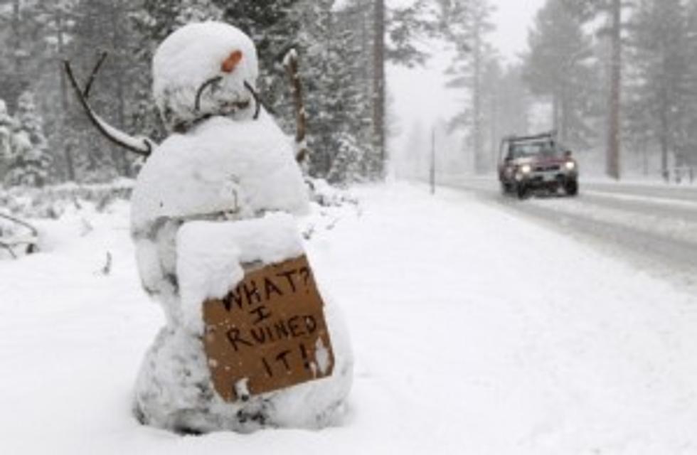
Winter Blast Brings Record Snow + ‘Killer’ Weather to Central, Eastern U.S.
A winter blast is bringing record low temperatures in lower Central Canada, stretching across the Northern Central U.S. (from Minnesota and the Midwest) up through Pennsylvania, and across the Northeast and East Coast. Some are being recorded in Tennessee, Kentucky and Georgia. We've included links to some of the latest news, courtesy of The Drudge Report:
Plymouth State University has compiled what is called a vortex wind chill map of the U.S. and Canada. It shows a myriad of sub-zero temperatures ranging for thousands of miles across the region.
Minnesota could see lowest temps in 20 years, with temps -19 below!
As much as 30' inches of snow could be falling in New England before it's over.
New York City could see gusty winds 30-40 mph and as much as 10 inches of snow. It's expected to be so cold with windchill that weather experts say exposure to the weather can freeze uncovered skin in less than 15 minutes!
Could the Green Bay vs. San Francisco NFC Playoff game Sunday in Wisconsin be the coldest ever? The record goes back to 1982 when the Bengals played the Chargers in Riverfront Stadium and it as -9. Weather forecast for Sunday in Green Bay is -8...for now.
This huge system is so big, the National Weather Service and the Weather Channel are calling it Winter Storm Ion.
More From 870 AM KFLD


