Oregon Study Says To Survive Potential Tsunami, “Walk Faster “
Perhaps inspired by the events in Japan four years ago with the major tsunami, a recent study has been completed about the effects of such an event on the coasts of CA, Oregon and Washington state.
The National Academy of Sciences has just released a study of tsunami risks along the Pacific Coast. They looked at some 700 miles of coastline, and the 73 cities and towns that are pretty much right on the water.
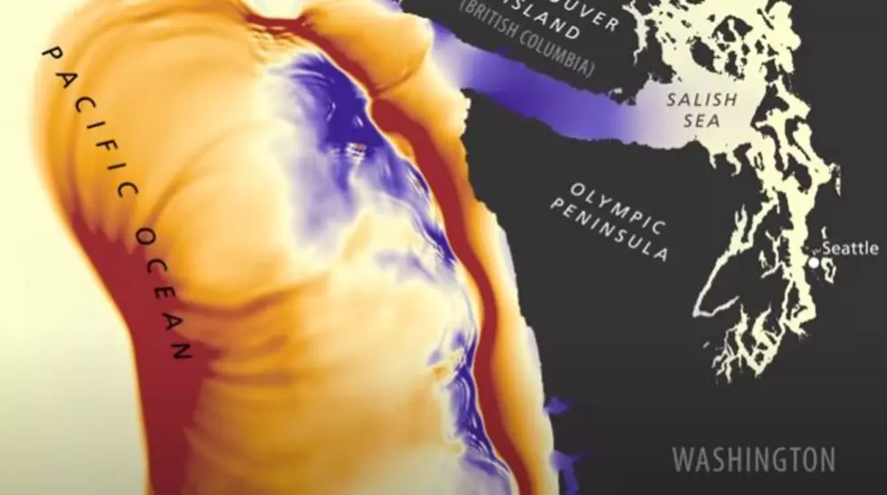
According to the Academy, they looked at what the effects could be if an earthquake struck what is called The Cascadia Subduction Zone.
The Cascadia Subduction Zone is the official name for a 600 mile long fault on the ocean floor that runs from California up North towards Vancouver, British Columbia. Somewhat similar to the San Andreas Fault in California, it's about 50 miles off the Oregon coast. For the last decade, many researchers believe it's due for some significant seismic activity, it last produced a major quake in 1700.
If such a quake were to occur, significant tidal wave and tsunami activity would be expected to hit the Pacific Coast.
The study examined escape routes and evacuation plans and possibilities for the 700 mile stretch. Most evacuation plans are based upon people moving by foot, because it will be assumed most roads would be damaged or destroyed by such an earthquake. Especially coastal highways and roads further inland.
Researchers estimated more than 21,000 people would fail to make it safely if they walk slowly, based upon a speed of 2.5 miles per hour. But increase that to 3.5 miles per hour, and the potential death toll would drop to 16,000.
So what the study concluded - literally - is, to survive a Pacific Coast tsunami, walk faster. Pretty sure if that happened and I were in the area, I would run.
More From 870 AM KFLD